
As fans of this highly informative blog will undoubtedly know, I’m somewhat of a fan of William Shakespeare’s work. I’ve talked about his work before on this beloved blog, but one day I will discuss the villains, because, in my humble opinion, there’s nothing greater than a Shakespearean villain.
Now, you could be sitting on public transportation as you read this, or maybe in the bathroom, and you would be forgiven if you think I’m going to talk about Shakespearean villains today. Alas, no, not today.
I’m bringing up the term because, once again, in my humble opinion, someone last weekend exhibited actions worthy of being called a Shakespearean villain.
Well, that’s not fair to Iago and Richard III, is it? I mean, they could challenge Trump to a battle of wits, but … oh, you know the rest.
I was honestly going to write a Tour of the Solar System post, but each time I looked at the news, the OCD in me wouldn’t let it go, so here we are.
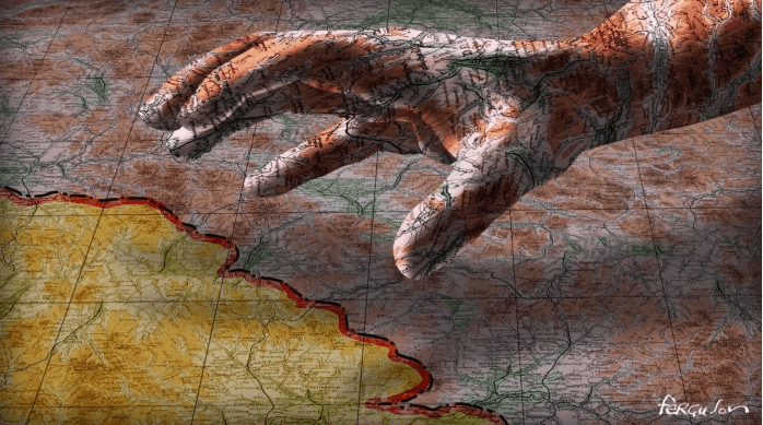
Unless you have been living in a shoe, I’m discussing the capture of Venezuelan President Nicolás Maduro and his wife Cilia Flores by United States forces, after they attacked the capital, Caracas, on 3rd January. At the latest count, at least 57 people were killed in the attack. Like I said last week, it’s an interesting way to start 2026.
This also covers Trump claiming that the United States is going to “run” Venezuela, along with opening up its massive oil reserves and selling them, in addition to prosecuting Maduro in the United States court system.
I’m not here to debate the legality of what Trump has done, purely because I’m not an expert in international law. If I were, my topics would be far more exciting! Trump’s actions can be measured against the United Nations and/or any other international legal body. However, my Spidey-sense has been tripped, and is ringing like a school fire alarm.
Today’s rant will be of interest to roughly only 8% of my readers, but it’s about my hopes and fears regarding the situation.
Let’s start with the most obvious statement, which I’m going to repeat:
Venezuela is better off without Nicolás Maduro
I’m not going to sit here and list the crimes Maduro has committed against Venezuelans, as they are well documented. Along with former president, the late Hugo Chávez, Maduro has run Venezuela into the ground, and the shenanigans involving various Venezuelan presidential elections have also been well-reported.
So, I’m going to reinforce this point that Venezuela is better off without Nicolás Maduro. They are free of his extrajudicial killings and suicidal financial policies. This, of course, seamlessly brings us to my hopes for Venezuela, because I want to focus on the country first.
My hope for Venezuela is, quite simply, that Maduro’s removal will give them hope. Depending on how much money is created from the sale of the oil, if it happens, of course. Regardless, I hope it is pumped back into the country and its people.
I came across a social media post from a man in Venezuela who stated that people in the West do not understand what it was like living under Maduro’s regime, as it was a time of great despair. He mentioned that if Trump wants to take their oil, he can, because at least the money would bring some financial benefit to the country.
That’s tough to read and argue against.
Venezuela is better off without Nicolás Maduro
My other hope for Venezuela is with the new President, Delcy Rodríguez, the former Vice President. Assuming the US government “allows” her to function in this role, or the opposition leader, María Corina Machado, does not take the job, or if she is just waiting for Maduro’s return, there are a lot of expectations and responsibilities now resting on Rodríguez’s shoulders.
Rodríguez has been involved in previous policies, but not all of them, that have crippled the country, so she’s in a rare position to redeem herself and the government, to Latin America, the world, but mainly to Venezuela. Her government can craft new laws that will lift Venezuelans, and not continue with the same or more Maduro-style policies that have damaged the country.
With Maduro’s removal, there is a possibility that the country could divide and fall into civil war, or it could bring the nation together with steps toward a brighter future for Venezuela.
I hope that Rodríguez is up to the task, because the country has suffered enough. She can bring them hope against inflation and corruption. What’s going to happen? I have no idea, but we can still hope.
Venezuela is better off without Nicolás Maduro
Alright, those are my hopes for Venezuela, so what are my fears?
As I mentioned just before, Venezuela could tear itself apart if it and the world are not careful, but I believe the country will survive. It will be rough, but no worse than the years under Maduro, which have given them a new strength. I am not too fearful for Venezuela’s future. No, it’s what happens outside of Venezuela that gives me fear.
I said before that this blog post is not going into the legality of Trump’s actions towards Maduro, or “seizing” control of the country, or threatening to sell off Venezuela’s oil reserve. Far better writers, reporters, activists, lawyers, and journalists can do that.
Are Trump’s actions illegal, and will the US government suffer no consequences, or are Trump’s actions legal? I don’t know which one scares me the most. This has led me to a revelation; regardless of whether Trump’s actions were legal or not, and whether Venezuela will thrive or not, I fear that this is only the start.
Let’s begin with the United States, because it’s an obvious choice. We are going to play a game and pretend there will be no legal consequences from the international community for Trump and the US government over Maduro’s capture and “seizure” of Venezuela. With me so far? Great.
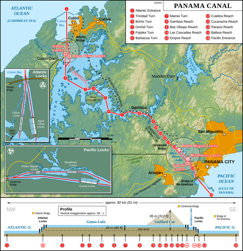
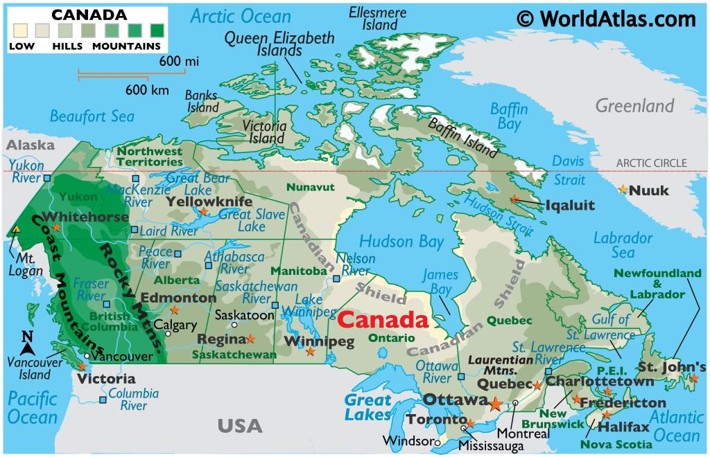
So, if Trump is allowed to capture a leader from a sovereign country, because that country has resources that the United States needs, what is stopping them from doing it again? What happens if they decide that taking control of Greenland needs to become a reality? While they are at it, maybe taking over Panama to secure the Panama Canal seems like a great idea to strengthen American interests.
Hell, let’s secure Cuba, Haiti, as well, though, securing Colombia is another super idea too.
The problem here is that no matter how it is justified, the world may look at the United States and think, “If they’re allowed to do it, so are we.”
Following Trump’s and the United States’ new foreign policy of 21st-century annexation, we can only guess at what the upcoming chaos could be. Imagine if Russia captured Volodymyr Zelenskyy, or China secured Lai Ching-te, because they followed the United States’ example.
Israel takes Palestine, China annexes Taiwan, Nepal, and Bhutan, and Russia absorbs the former USSR states of Ukraine, Moldova, Estonia, Latvia, Lithuania, Georgia, Armenia, Azerbaijan, Kazakhstan, Kyrgyzstan, Tajikistan, Turkmenistan, and Uzbekistan.
Maybe North Korea decides to unite the Korean peninsula and invades South Korea. Maybe India decides that Sri Lanka and Bangladesh are better off under Indian control. Maybe Sudan thinks that South Sudan has had its fun and its time to come home.
It could be that Egypt takes North Africa, while Nigeria absorbs West Africa. In other parts, Central, East, and Southern Africa descend into carnage. As for the Arabian Peninsula and the Persian Gulf, that could be a royal rumble, with land and oil on the line, involving multiple nations.
Malaysia, Indonesia and the Philippines could start fighting over islands, with Australia and New Zealand concluding that all Pacific Island nations need to be under their control, to protect everybody’s future.
Where would this strategy of a real-world game of Risk take us? Carving up regions in Antarctica and the Moon? The new land-grab would destroy everything and everyone. Trump just has to do it again, or another world leader decides that their neighbour has a nice pair of resources, and it starts. This, of course, is assuming that no country fights back.
Another possibility is what if one country decides that another country would be better off under their control, but the surrounding countries, or even the world, steps in to stop them? What if a conflict between two nations spills over and engulfs the region or the world? I mean, Russia is already knocking on NATO’s door.
It’s possible this could happen. Highly unlikely, but still possible. I fear that the wrong leaders are surrounded by the wrong people, being told the wrong advice, that if they don’t act and claim what they want from another country, someone else will.
To me, this is madness. It’s just madness. I don’t know how this is going to work out, because I doubt even Trump knows. All I know is that this, if it hasn’t already, could go sideways very quickly.
I’m glad that Venezuela has the opportunity to move forward, since the country has been lacking hope for a long time. Whatever happens next, I hope that world leaders, even my government, whom I trash-talk a lot, manage to calm the situation down, so clearer heads will prevail. Maybe.
Well, this is not exactly how I thought we would be starting 2026, but like many things in life, they are out of our hands; though it’s still nice to know that not everybody agrees with the sparkly new Donroe Doctrine. To quote Pope Leo XIV, “War is back in vogue. And the zeal for war is spreading.”
What are your thoughts on the situation? As always, please let me know.
Thanks again for reading, following, and subscribing to Some Geek Told Me. Before I depart to have UMC1 and UMC2 kick my arse once again in Monopoly, I thought I would continue the depressing tone of 2026.
I’d like to remind you all to continue discussing the situations I’ve mentioned, as well as those in Palestine, Congo, Sudan, and Ukraine. The ongoing riots and the deaths of protesters in Iran also warrant our attention.
The universe loves and needs opposites, which are being played out across the Earth. War has Peace, Hate has Love, Ignorance has Compassion, Apathy has Empathy, and Sour Cream and Chives has Salt and Vinegar, so don’t lose hope. And with that, I’ll see you next week.


You must be logged in to post a comment.